


Why does Geographic Information Systems (GIS) in education bring value to teaching, learning, research, and administration? Join Geographer Joseph Kerski as we explore some of the reasons why educators from primary to university level are using GIS in STEM, geography, mathematics, and other classrooms and disciplines. GIS can foster community connection, engaged students, outdoor education, problem-based learning, career pathways, inquiry, and a meaningful use of technology. Discover how you too can use GIS in your own educational institution quickly and effectively.
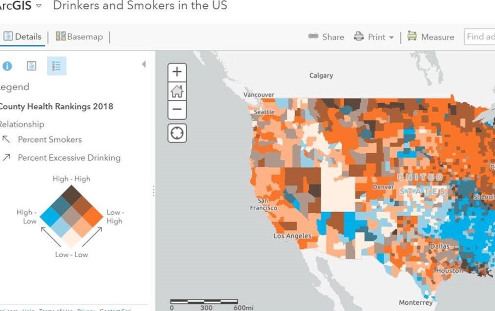
Example GIS map that can be used in education.
Podcast: Play in new window | Download
Subscribe: Apple Podcasts | Android | RSS