Skip to content
Back Home
Joseph Kerski, Ph.D. GISP
  • Who I Am
    • Interview with Augmented Reality Solutions ArGIS Solutions Inc
    • Day of Geography Spotlight
    • My Interview with GIS User magazine, December 2015
    • Faculty Spotlight Interview: University of Denver
    • Interview with GeoJobe
    • Interview with Online Learning Consortium
    • Interview with “The Primary Geographer”
    • Interview with “Self Publishing Experts”
    • Interview with GIM International
    • My Dad: James J. Kerski
  • What I Believe
  • What I Do
  • Resources
    • Web and Story Maps
    • Spatial Thinking
    • GeoTech in Education
    • Curriculum
    • T3G Institute
    • Teaching
    • Videos
    • Geoinspirations with Joseph Kerski
  • Publications
  • Geo-Geekiness
    • My Earthcache: Gazing Across the Plate Boundary
    • Pointed Journeys: The Degree Confluence Project
    • To the nth Degree – Exploration Article
  • Photos & Videos
  • Podcast
  • Search
Back Home
Joseph Kerski, Ph.D. GISP
  • Search
  • Who I Am
    • Interview with Augmented Reality Solutions ArGIS Solutions Inc
    • Day of Geography Spotlight
    • My Interview with GIS User magazine, December 2015
    • Faculty Spotlight Interview: University of Denver
    • Interview with GeoJobe
    • Interview with Online Learning Consortium
    • Interview with “The Primary Geographer”
    • Interview with “Self Publishing Experts”
    • Interview with GIM International
    • My Dad: James J. Kerski
  • What I Believe
  • What I Do
  • Resources
    • Web and Story Maps
    • Spatial Thinking
    • GeoTech in Education
    • Curriculum
    • T3G Institute
    • Teaching
    • Videos
    • Geoinspirations with Joseph Kerski
  • Publications
  • Geo-Geekiness
    • My Earthcache: Gazing Across the Plate Boundary
    • Pointed Journeys: The Degree Confluence Project
    • To the nth Degree – Exploration Article
  • Photos & Videos
  • Podcast
Home » Uncategorized » Workshop: Creating and Teaching with Esri Story Maps
Uncategorized

Workshop: Creating and Teaching with Esri Story Maps

by jjk|Published 27 July 2016

Instructional materials for the workshops I teach on Creating and Teaching with Esri Story Maps.
Creating and Teaching with Story Maps Hands-on Workshop

http://bit.ly/2aBBj9Z  = pre workshop survey.

http://bit.ly/2ayEbH2 = post workshop survey.

Workshop on creating and teaching with story maps
Workshop on creating and teaching with story maps.

You may also like

Planting the Seeds to Ensure that GIS Has a Future, Version 2
Published 9 May 2024

Planting the Seeds to Ensure that GIS Has a Future, Version 2

PLANTING THE SEEDS Version 2 https://storymaps.arcgis.com/briefings/0cb71ee89bfb41b8b2d5f12fbacd1db1 Elevations GeoSummit:  Planting the Seeds to Ensure that GIS Has a Future I ask you, the […]

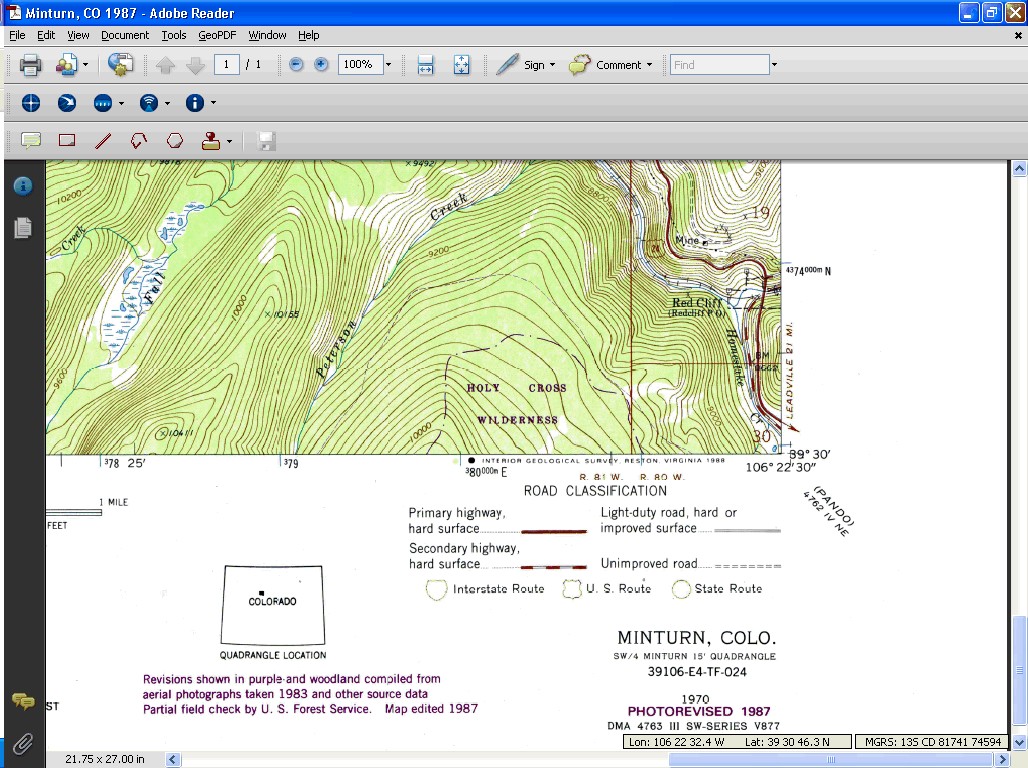
Topographic Map of Minturn
Published 7 March 2016

Examining USGS Historical Topographic Maps with Online Tools

I recently gave a presentation where I detailed the major and most useful ways by which you can examine Examining USGS Historical […]

Joseph Kerski
Published 7 June 2016

Lifetime Achievement Award from GeoTechCenter

It was a great honor to receive the Lifetime Achievement Award for my work in geospatial education from the Geotechcenter.org.  I thank […]

From Forests to Faucets:  Teaching and Learning about Natural Resource Interconnections through GIS
Published 11 September 2015

From Forests to Faucets: Teaching and Learning about Natural Resource Interconnections through GIS

One of the chief advantages that GIS has always had as an instructional and research tool is its ability to help people […]

Recent Posts

  • Place, Thought Leader, Tool, Event, Geographic Oddity: October 2026 Thinking Spatially Podcast
  • Environmental GIS Workshop, Bridging Disciplines
  • Place, Thought Leader, Tool, Event, Geographic Oddity: September 2026 Thinking Spatially Podcast
  • 5 Forces 5 Trends 5 Skills Shaping Spatial Thinking, Spatial Data, GIS in Multiple Disciplines, and Career Guidance
  • Place, Thought Leader, Tool, Event, Geographic Oddity: August 2026 Thinking Spatially Podcast

Post navigation

  • Previous post Analyzing cholera in 1854 London using Web Based GIS
  • Back to post list
  • Next post London 1854 Cholera Investigation Using GIS – Short Version
  • Who I Am
  • What I Believe
  • What I Do
LinkedIn
LATEST PODCAST
  • Place, Thought Leader, Tool, Event, Geographic Oddity: October 2026 Thinking Spatially Podcast 1 October 2026

©2026 Joseph Kerski, Ph.D. GISP

All rights reserved

© 2026 Joseph Kerski, Ph.D. GISP – All rights reserved

Powered by WP – Designed with the Customizr theme