I have revised my real-time weather analysis-in-GIS lesson, map, and data, and they are here:
Real Time Weather Analysis Lesson and Map

–Joseph Kerski
I have revised my real-time weather analysis-in-GIS lesson, map, and data, and they are here:
Real Time Weather Analysis Lesson and Map
–Joseph Kerski
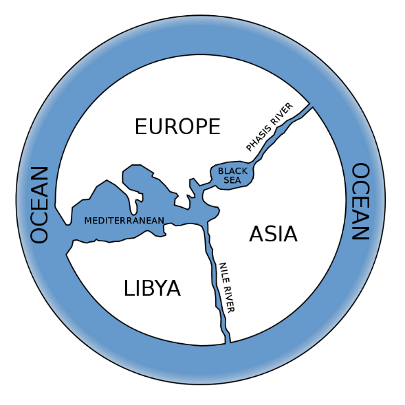
Learn why Anaximander’s first map of the world was so revolutionary, and how this Greek philosopher’s thinking shaped our modern conception of […]
Here is a Syllabus for 2 hour GIS Hands-on Workshop that I conducted for educators in social studies, STEM, and other fields. Feel free […]
NCGE: National Conference on Geographic Education: Teaching Physical Regions with Interactive Mapping: https://storymaps.arcgis.com/stories/de99921ee60e4a2096652659685e5d15 Map Viewer: Basic Map Making: https://storymaps.arcgis.com/stories/9c6759c880624b8bb1c770f7a50beed0 Survey123 Designing Projects: […]
My workshops and resources to support spatial thinking and GIS at Texas Tech University: Workshop 1: Collecting, mapping, analyzing, and communicating the […]