


An EarthCache is a type of geocache that is a special geological location people can visit to learn about a unique feature of the Earth. EarthCache pages include a set of educational notes along with coordinates, or even questions that visitors to that location can think about and answer.
My Earthcache on the San Andreas Fault, on the boundary between the Pacific Plate and the North American Plate, for example, poses questions about plate tectonics, and why it all matters. It is called “Gazing Across the Plate Boundary.”
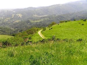
Looking southeast along the plate boundary from the earthcache.
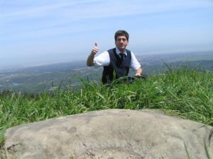
Joseph Kerski setting up the Earthcache.
There are many ways to teach using Earthcaches, in the classroom and out in the field. You can even use ArcGIS Online as a teaching aid for setting up and using your Earthcaches, as I explain here.