


The GIS company, GeoJobe, interviewed me here, and the text is below.
http://www.geo-jobe.com/mapthis/mapthis-gis-professional-qa-esris-joseph-kerski-josephkerski/
MapThis GIS Professional Q&A with Esri’s Joseph Kerski @josephkerski
If you’ve ever attended the annual ESRIUC and stopped by the Education Island or attended a local Esri Educational event you may have met Joseph Kerski – and if you did, you definitely would remember him! Joseph is the ultimate GIS professional / Geography enthusiast and a very vocal and passionate evangelist. I’ve known Joseph for many years now, perhaps dating back to around 2001 and I’m pleased to share this Q&A so you can get to know him a little better. I credit him with inspiring me to get involved in GIS Day and even address my daughter’s class a few years ago.
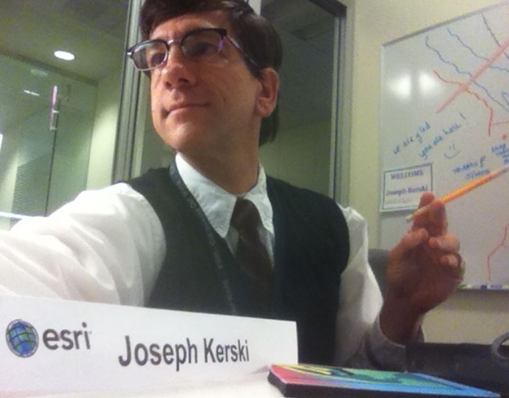
Image: Josephkerski.com
From Joseph… “I served for 22 years in federal agencies as a geographer—NOAA, Census Bureau, and USGS—and joined the Esri education outreach team in 2006. I also teach at the University of Denver and in several MOOCs and smaller online courses. My role focuses on curriculum development, professional development for educators, communicating about the value of GIS in education, partnership building, and in short, doing all I can to foster and support geospatial thinking and technologies in education and society.”
And so, a few rapid fire questions for Joseph
Q. What is your Education background?
I have three degrees in geography so you might say I’m rather passionate about the subject—geomorphology, population change, natural hazards, water, ecoregion studies, and geography education and GIS. I also have nearly 3,000 geo-related videos on http://www.youtube.com/geographyuberalles But I’m also keenly interested in spreading geographic skills, content knowledge, and perspectives to other disciplines—business, language arts, history, mathematics, biology, hydrology, sociology, and others.
Q. How long have you been at Esri and how did you wind up in the role you now have?
I have been at Esri for nearly 10 years. Before I came here, I worked frequently with the Esri Education Outreach staff. Having had so much respect for the team and for Esri, I was humbled and thrilled to join the team.
Q. At what level of K-12 education do you think kids are ready to start learning about GIS
What I advocate is that at very early ages, students should have frequent and deep engagements with activities—inside the classroom, outside the classroom, and in the “Great Outdoors”—that focus on and build spatial thinking skills, geographic perspectives, and knowledge about people, landscapes, water, energy, biomes, health, natural hazards, and other key themes of our 21st Century world. As they grow older, they can definitely engage in some of the mobile and web geospatial tools and data sets, most definitely, and I know Grade 4 students who are building storymaps, for example. But there is a lot we can do with young students’ spatial thinking, whether it is studying water quality in a local wetland, examining satellite imagery of their school grounds, making paper maps of the classroom or drawing their mental maps of their neighborhoods, and learning about the interaction between climate, people, landforms, land use, soils, natural hazards, oceans, and so on.
Q. The GISP designation is popular while also a bit controversial. What are your thoughts about it?
I put off my own GISP for several years because I didn’t think I had time to complete the paperwork. When I finally did it, I don’t know why I waited so long. It was remarkably straightforward thanks to the efforts that Bill Hodge and the GISCI staff have made. I am very glad that I did it and encourage others to do so. It is a good way for GIS professionals not only to bring recognition to the good work that they do, but also alert the broader professional community that geospatial technology is a viable and important discipline and profession for our 21st Century world.
Q. There’s many of us GeoGeek parents out here. How would you suggest we go about introducing our kids to GIS? What have you seen that works and gets kids really jazzed?
Start with www.geomentors.net and sign up to be a GeoMentor. Then review my 20 ideas for spreading the good word about GIS: http://blogs.esri.com/esri/gisedcom/2015/10/02/educating-about-gis-for-the-general-public-20-ideas-and-strategies/ or my Why Maps Matter ideas: http://blogs.esri.com/esri/gisedcom/2015/12/11/why-maps-matter/ and my tips for presenting to students: http://blogs.esri.com/esri/gisedcom/2011/09/30/creating-and-conducting-guest-presentations-for-students/ Live demos with live web maps, hands-on work, and asking students to THINK really is what I advocate. In other words, don’t just show a bunch of slides ;0)
Q. Can you suggest a couple of post-grad online GIS learning resources that anyone can take advantage of? Are you a fan of online education (for credit degree granting programs)
I have been teaching online since 2000, so yes, I definitely believe in it. Like any means of teaching, it can be done poorly, but it can also be done very well. I want to make every course that I am involved with as meaningful and high quality as possible, worth the time invested by the participants. The MOOC capabilities have introduced geospatial technologies and methods to over 100,000 people over the past few years and helped them network with each other. I have great respect for many online GIS programs, and would like to mention the following programs here: University of Southern California, Penn State, Johns Hopkins, and the University of Denver. Also, many community colleges offer excellent GIS face to face certificate and other programs.
Q. The kids that show up on the mainstage at ESRIUC are always a huge hit. How do you guys find these kids?
Yes, this is always my favorite part of the UC plenary day. It is so inspiring to hear and see these students achieving their goals, making a positive difference in their schools and communities, and blazing a bright pathway for their own future. The UC students are selected by my colleague and our K-12 manager Charlie Fitzpatrick with the approval of Esri President Jack Dangermond. The good news is that we have many many other stellar examples than we can obviously have on the UC stage that we have the privilege of working with throughout the year.
Q. any advice for GeoGeeks that are thinking of presenting at a GIS Day event or perhaps at a school career day?
Yes! See my links above and keep these things in mind: Find out who your audience will be and what they are interested in; build your presentation around those issues; also use issues of importance in our world, including some local, regional, national, and global issues of concern. Look around! There are plenty of issues to examine. Make your presentation interactive, with live ArcGIS Online maps, story maps, videos, some spatial analysis where you are asking questions as you demonstrate solving problems with GIS. Help students think about our planet and the role THEY could have in shaping its future.
Q. I’m a College student wanting a career in “GIS” what words of wisdom can you give me? Also, I often get people asking what courses or prof. development can I suggest. Is there a short course through Coursera or code academy etc… that you would suggest for a geogeek?
First, I would say that there is no time better than the present to get into a career in GIS—no matter whether you are 20 years old or a mid-career person looking for a change and an opportunity to make a positive difference on our planet. We have more pressing issues in need of the geospatial perspective than ever before—global issues are becoming more pervasive, complex, and increasingly affecting our everyday lives. We also have more spatial data, and more powerful, mobile, and easy-to-use tools for you to learn and begin using GIS to solve problems. What’s more, you don’t have to slog through the “old clunky days” of GIS that many of us went through when it was frankly more difficult to do GIS work. Lastly, be willing to go international! There are many exciting opportunities out there but you do still need to market yourself and also market what GIS is and what it can bring to organizations—making them more sustainable, efficient, profitable, and able to meet their goals.
I would recommend the 2 Esri MOOCs – Going Places with Spatial Analysis, and The Location Advantage—and also our upcoming 2016 MOOCs on building web apps, and on imagery. I would also recommend the Elmhurst College Digital Earth MOOC which I helped develop, and the 3 MOOCs that I have had the privilege of working with Penn State on – GeoIntelligence, Maps and the Geospatial Revolution, and Geodesign. For coding in particular, get an account on http://developers.arcgis.com and begin making maps and apps there, and explore the activities on GitHub here: https://github.com/esri/geodev-hackerlabs
Q. Can you share a snippet of what’s exciting and/or on the horizon for you
First, I don’t think we’ve truly tapped into all of the opportunities that MOOCs and online sequences of courses offer as of yet, and I look forward to helping build these future educational resources for geography, GIS, but also for business, history, mathematics, engineering, and other fields. Second, I love the opportunities that we will soon have with upcoming easy-to-use crowdsourcing mobile apps for citizen science—for education and beyond.
Thanks for sharing Joseph! FYI, you can connect with Joseph this July at the ESRIUC and the ESRI EDUC event
Joseph J. Kerski, Ph.D., GISP, Esri Education Manager
http://twitter.com/josephkerski